Source coverage is not a map of hog activity or risk. Neutral counties are directory entries, not evidence of absence.
Local programs
Bounties, trap loans and county programs. A listing is not proof a program is open today.
Shared boundaries
Multi-county USDA pilot project areas. Outcomes belong to the area, never to one county.
Public records & research
Reviewed records, district reports, community notices and published studies.
Water & land
Watershed projects, source tracking and water education. Historical and program footprints, not current water status.
Wildlife & habitat
Studies, surveys and conservation plans. A dated reference or non-detection is not a present-day absence finding.
People & communities
Community stories, stewardship accounts and program policies. Historical accounts are not current conditions.
Public-land pathways
Official hunts, WMAs and refuge rules. A published route is not permission, availability or a removal service.
County profile · FIPS 48199
Hardin County
Published researchLance Rosier Unit, Big Thicket National Preserve2009
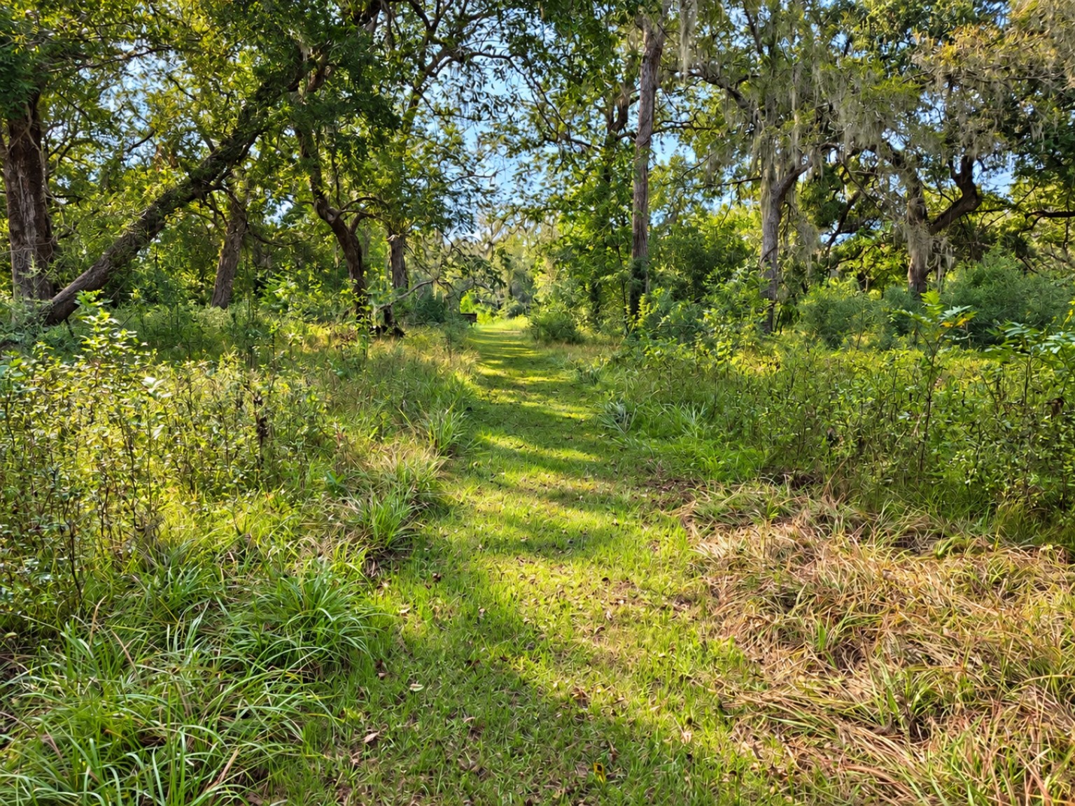
The next forest starts below the canopy.
Some hog impacts take years to become visible in a forest.
A seven-year experiment fenced hogs out of eight of sixteen forest plots. Exclusion increased woody-plant diversity; Chinese tallow saplings were more than twice as abundant where hogs remained.
What the source says
The experiment was in one preserve unit. The authors could not rule out fence effects on other animals.
Why this case matters THD analysis
The trees that survive as seedlings and saplings shape a future forest. Rooted ground can matter long after the soil settles.
Worth asking: Have later monitoring plots shown similar changes in regeneration?
Limits and source notes
Published in 2009; experimental results are local, historical and not a current countywide forest assessment.
Texas A&M AgriLife Extension county offices answer local land and wildlife questions. Open the county office directory (new tab) and select Hardin. Ask the office about local education and resources; program eligibility and availability need to be confirmed.
Build a useful observation
County and general area (no exact address needed)
Approximate date or date range
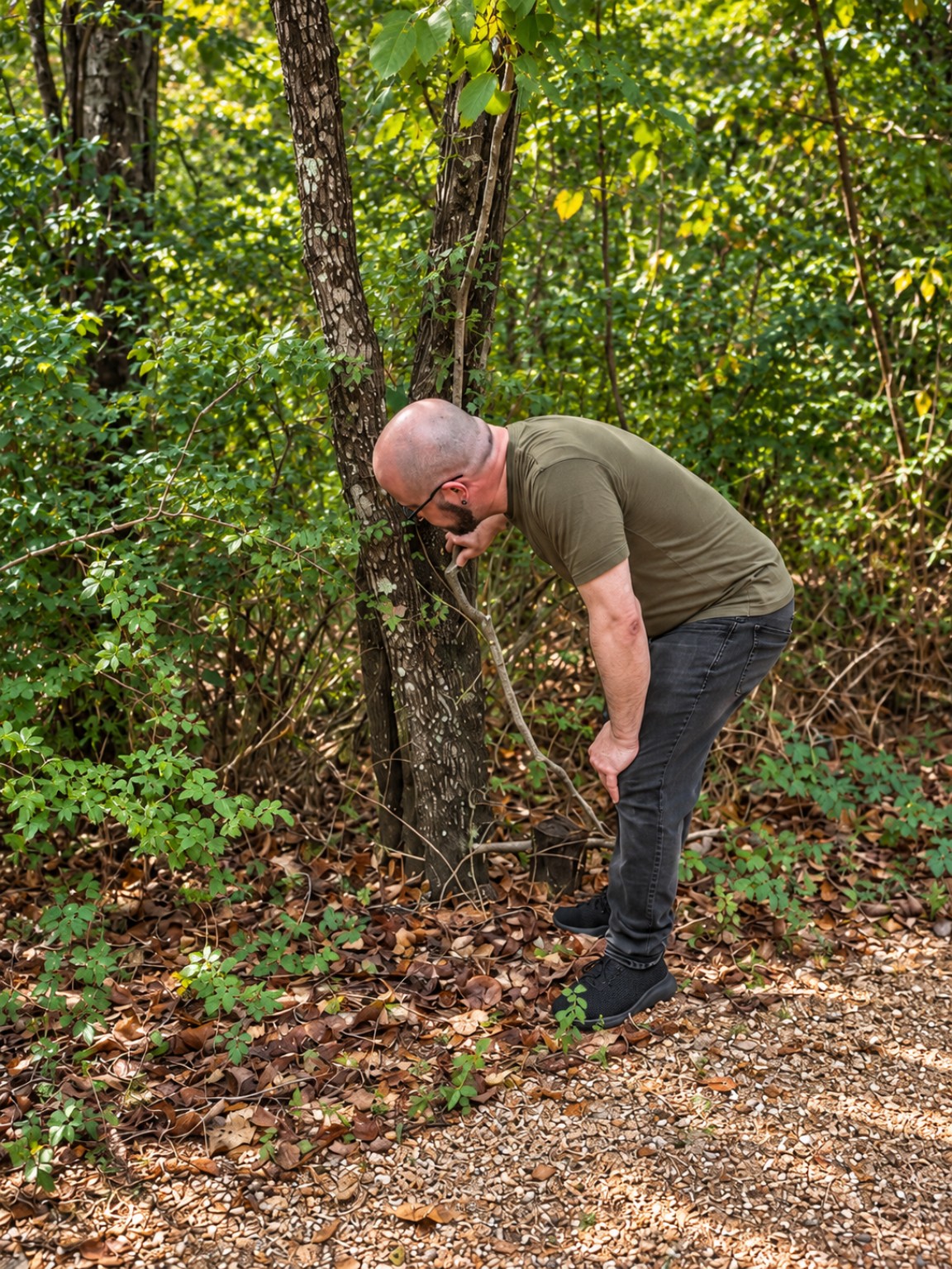
What you saw: animals, rooting, tracks, wallows or damage
Whether you looked repeatedly, and roughly how often
U.S. Census Bureau, 2024 Cartographic Boundary Files, counties, 1:500,000. Census source archive. U.S. government public domain; Census attribution retained. Repackaged by THD, not an official Census product. Generalized for small-scale display, not surveying, parcel boundaries or precise spatial analysis.
Sage marks counties with sourced material in this compilation — a story, study, program or record — not current hog activity. Neutral counties are directory entries, not evidence of absence. Orange marks your selection only.
Private observations are for research review, not dispatch requests. Texas Hog Dispatch reviews property requests and looks for independent operators; THD does not trap. Operators control their services, prices, schedules and fieldwork. Availability is confirmed case by case.
Stay curious. Follow what we find next.
Field notes, research and stories from the Hog Watch newsletter.